What is MapTime Explorer®
The platform developed to explore satellite data
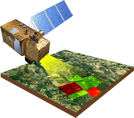
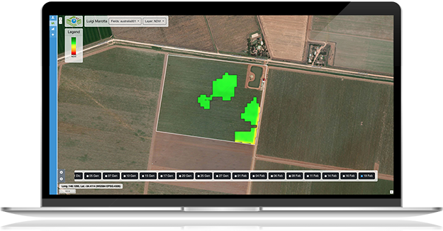
Map Time Explorer is a Web-GIS platform developed to explore the time series of satellite images, allowing easy visualization of any geographic data.
Being a Rich Web Application, you do not need to install any software on your pc, but can be reached using a modern browser.


A single solution for different users
Map Time Explorer is a platform that uses the same approach of exploring data in time and space which fits the needs of different users.
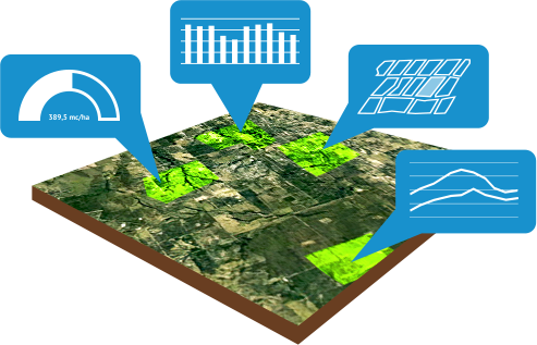
For example, farms can explore satellite images and maps of their farm with simple tools while irrigation network managers can visualize the areas served with advanced analysis tools (time charts, statistics, report tables).
MapTime Explorer® & irrisat®
The tool for providing irrigation advisory service powered by irrisat®.
Map Time Explorer is the Web tool for exploring data and accessing the services of irrisat®, making it easy and straightforward to access information derived from satellite images.
Map Time Explorer allows you to
- Visualize crop irrigation needs
- View cultivated and irrigated areas
- Monitor crop development and vigor in real time
- Providing tools for decision making

Discover the best solution for you

MapTime Explorer for
Farms
Irrigation Council
Irrigation advice with a time horizon of one to five successive days
Weather forecast
Forecasting weather magnitudes on a time horizon of up to five successive days
Cultures as seen from the satellite
A satellite image of your plots every 5-10 days
Vigor and leaf area index maps
The application allows you to receive a range of crop monitoring information helping you make informed decisions

MapTime Explorer for
Reclamation and Irrigation Consortia
Maps of Irrigated Areas and Estimated Irrigation Volumes.
Identification of irrigated areas and optimization of field controls.
Verification of irrigation volumes provided in accordance with Article 3 of the Italian MIPAAF Ministerial Decree of July 31, 2015.
Monitoring by Satellite of the Territory
A 5-10 day satellite image and related derived maps to keep up to date with what is happening in your area.
Sharing of geographic data within the organization
Map Time Explorer can be used to share geographic information system data (networks, districts, hydrants, etc.) within the organization.
Have you need more info?
Contact us
Write to us and we will be happy to give you all the information you need, with no obligation

